About Historic LIC
Historic LIC is the definitive guide to the Hunters Point Historic District: a research and real estate resource presented by Lauren Renee Bennett, Licensed Associate Real Estate Broker with The Mijalkovic Bennett Team at The Corcoran Group. Its focus is the Hunters Point Historic District in Long Island City, Queens.
The guide is not affiliated with or endorsed by the New York City Landmarks Preservation Commission. “LPC-designated” refers to the district’s official status, not approval of this website.
How to read the architecture profiles
The building-group profiles summarize the 1968 designation report. Dates, materials and details are historical descriptions, not representations of current condition. The total of 47 buildings is calculated by adding the counts in the report’s twelve groups.
Questions for buyers are editorial prompts for further investigation. They are not findings of defects, legal conclusions or claims that a property is for sale. The guide does not provide a live listing feed or generic renovation budgets. The dated public-record transfer snapshot identifies its exact source, period and geographic filter; it does not establish a district median price or current market activity.
Current condition, lawful use, alterations, title and financing require address-specific records and appropriate professional review. Photography is dated and should not be treated as a current inspection.
Source review date: September 23, 2026. Agency processes and records may change; consult the linked primary sources when making decisions.
The research library
- LPC designation report · LP-0450 ↗
The primary historical source: May 15, 1968 designation, boundary description and twelve building groups. Dates, style names and historical material descriptions in the architecture profiles are drawn from this report.
- Official Hunters Point Historic District map ↗
Use the LPC boundary map to understand the designated area; confirm the exact lot before relying on historic-district status.
- Discover NYC Landmarks ↗
LPC’s mapping tools provide address-level designation research.
- LPC permit types ↗
Current agency guidance on work that requires approval and permit categories.
- LPC Permit Guidebook ↗
Topic-specific guidance for alterations, restoration and materials.
- LPC applications and Portico ↗
Current application process and access to the agency’s filing portal.
- LPC permit search ↗
Applications and permits since January 1, 2016; the agency explains how to research earlier records.
- LPC violations ↗
Agency information on unpermitted work and owner responsibility.
- DOB Certificate of Occupancy guidance ↗
Occupancy records, the pre-1938 context and Letters of No Objection. Follow the agency’s links to BIS and DOB NOW for the appropriate records.
- NYC Finance · ACRIS ↗
Recorded real-estate documents for Queens from 1966 onward. Transaction interpretation requires document and context review.
- FEMA Flood Map Service Center ↗
Official address-based flood-map research.
- NYC coastal flood data and maps ↗
City resources and links to coastal flood mapping tools.
- NYC DEP climate resiliency resources ↗
Resources for understanding heavy rainfall and stormwater flooding.
- Lauren Bennett’s professional biography ↗
Professional identity, Corcoran affiliation and the team’s Long Island City practice.
Sources behind the expanded guide
The 15 in-depth chapters link to 113 distinct research resources. Each chapter places citations beside the relevant explanation and includes its own source list. These are the chapter references, grouped by topic.
The district & its houses
How a nineteenth-century street became a historic district.
Walk the rows. Learn to see the differences.
A field guide to the details above the sidewalk.
Living here: the historic block and the wider neighborhood.
- LPC · Hunters Point Historic District map ↗
- MTA · Long Island City neighborhood map ↗
- MTA · Trip planning and service information ↗
- NYC Ferry · Routes and schedules ↗
- New York State Parks · Gantry Plaza State Park ↗
- NYCEDC · Hunter’s Point South ↗
- Queens Public Library · Hunters Point ↗
- NYC Public Schools · Find a School ↗
- NYC Public Schools · Enrollment help ↗
Planning a purchase
Research the house, one record at a time.
- NYC Department of Finance: ACRIS ↗
- LPC Queens district maps ↗
- Hunters Point district boundary PDF ↗
- Discover NYC Landmarks ↗
- ACRIS ↗
- DOF Property Tax Public Access ↗
- DOB BIS ↗
- DOB NOW Public Portal ↗
- DOB record requests ↗
- HPD Online ↗
- HCR Office of Rent Administration ↗
- LPC Permit Application Search ↗
- ZoLa ↗
- Zoning Resolution ↗
- FEMA Map Service Center ↗
- NYC coastal flood resources ↗
- stormwater map ↗
- NYS DEC site research ↗
- DEP billing forms ↗
- DOF: recording property-related documents ↗
- NYS DFS: title-insurance explanation ↗
- NYS Education Department: land-surveying consumer information ↗
- DOB: Certificate of Occupancy ↗
- DOB: Temporary Certificate of Occupancy ↗
- NYC311: CO and LNO research ↗
- DOB LNO application and checklist ↗
- HPD: basements and cellars ↗
- DOB: ancillary dwelling units ↗
- DOB NOW Public Portal FAQs ↗
- DOB: violation issued ↗
- HPD Online user guide ↗
- HPD: Register Your Property ↗
- HPD: Clear Violations ↗
- DCP ZoLa user guide ↗
- LPC: permits and making alterations ↗
- LPC permit types ↗
- LPC: violations ↗
From the first showing to a confident decision.
Lead, asbestos and the questions behind the finishes.
- EPA: Lead-Based Paint Disclosure Rule ↗
- EPA: inspection opportunity ↗
- EPA: must a seller test? ↗
- EPA: identifying lead-based paint ↗
- EPA: inspection, risk assessment, and abatement ↗
- HPD: paint-testing requirements and exemptions ↗
- HPD: continuing lead obligations ↗
- HPD: correction in units with a child under six ↗
- EPA: RRP requirements for contractors ↗
- DOB: asbestos project requirements ↗
- NYS DEC: researching spills and remediation ↗
- DEC: limits of site classifications ↗
Read the flood maps. Then read the house.
- FEMA Map Service Center ↗
- NYC coastal flood resources ↗
- DEP climate resiliency and stormwater mapping ↗
- NYS Department of State: disclosure statement in licensing-law materials ↗
- NYS statutory disclosure questions, pages 21–23 ↗
- NYS DFS homeowners insurance guide ↗
- FEMA/NFIP: buying flood insurance ↗
- NFIP overview ↗
Budget for the house you are actually buying.
A historic townhouse, an LIC condo, or a house in Sunnyside Gardens?
How to read the historic-townhouse market.
Owning a historic home
The practical rhythm of owning a historic townhouse.
LPC permits: understand the path before the project.
- LPC Permit Guidebook, Introduction, pp. 0.10–0.11 ↗
- LPC: Permits and Making Alterations ↗
- LPC Rules page ↗
- Permit Guidebook ↗
- Apply on Portico ↗
- CNE guidance ↗
- PMW guidance ↗
- COA guidance ↗
- LPC Restoration guidance, p. 1.11 ↗
- Windows and Doors, p. 2.3 ↗
- DOB: Obtaining a Permit ↗
- LPC Permit Search ↗
- DOB: Find Building Data ↗
- DOB NOW Public Portal FAQ ↗
- LPC Violations ↗
- Correct a Violation ↗
Windows, masonry, stoops and the life of a historic house.
Can this house become the home you have in mind?
Interactive map data
The map uses the designated Hunters Point polygon and all 47 district building footprints from LPC’s public ArcGIS services, as linked through the agency’s Discover NYC Landmarks application. Data was retrieved September 23, 2026.
The Historic Districts layer identifies the current designated district as LP-00450, feature 60. Building geometry and addresses come from the LPC Historic Buildings layer. The designation report is numbered LP-0450.
All 47 footprints are assigned to the report’s twelve address groups. The numbered markers are calculated from those footprints; they are editorial group markers, not an official LPC point layer. The map is north-up and uses a local geographic projection. Street text is a cartographic annotation.
The map supports orientation and architectural research. Confirm legal boundaries and the property’s current records with the official sources and appropriate professionals. Download the retrieved district geometry or building geometry.
Photography credits
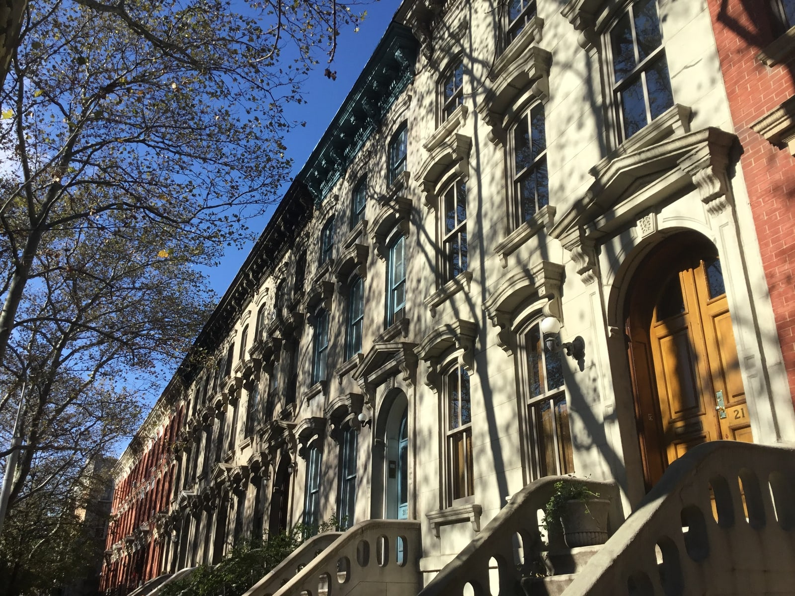
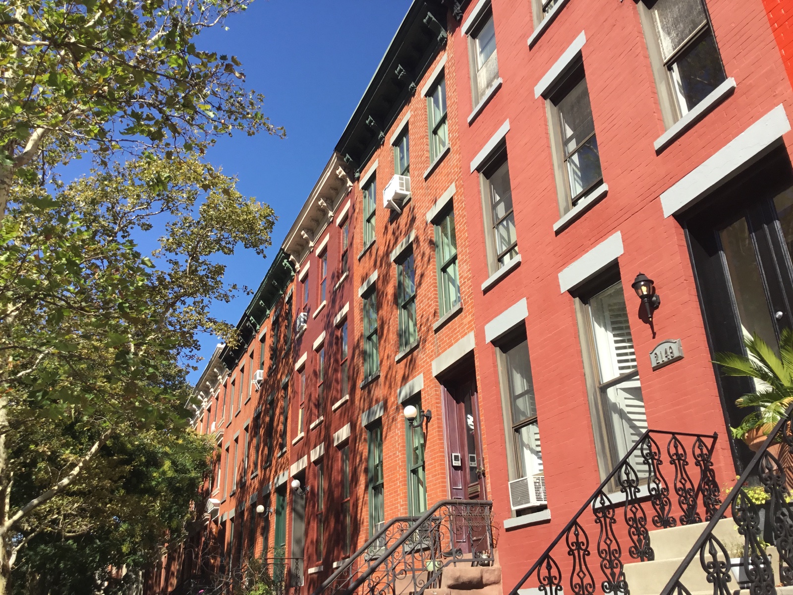
District photographs are by Kidfly182, published on Wikimedia Commons under Creative Commons Attribution–ShareAlike 4.0. Site copies are resized/compressed and cropped for layout; those photographic adaptations are offered under the same license.
- Stone row on 45th Avenue — photographed November 19, 2022. Site image.
- Brick row on 45th Avenue — photographed October 1, 2021. Site image.


Lauren’s portrait and approved Corcoran brand artwork are supplied professional assets; they are not covered by the district photographs’ Creative Commons license.
Corrections and additional evidence
If you notice an error, send the page address and the supporting record to Lauren Bennett. A dated official record is especially helpful when clarifying a historical description or a changed agency process.